One evening, a fleet operator watched a vehicle adjust its path while sipping coffee. The update came through a mobile app that tied edge sensors, cloud analytics, and an over-the-air firmware patch together. Within seconds the team could make informed decisions and keep passengers safe.
This guide shows how LiDAR-driven 3D sensing and modern algorithms let autonomous vehicles process vast amounts of data from cameras, RADAR, and ultrasonics. These inputs help the vehicle perceive the road, predict movement, and plan safe driving around changing traffic and conditions.
Iottive builds end-to-end IoT platforms that bridge BLE-enabled edge devices, mobile apps, and cloud dashboards. Operators can monitor map accuracy, push OTA updates, and fine-tune systems from any connected device. That blend of edge compute and cloud models is why transportation is moving toward smarter, scalable automation.

Key Takeaways
- LiDAR-powered 3D sensing helps vehicles process large streams of data for safer decisions.
- HD maps, GPS/INS, and SLAM enable precise positioning for complex road layouts.
- Complementary sensors—RADAR, cameras, ultrasonics—boost resilience in varied conditions.
- Iottive’s IoT and mobile solutions connect vehicles to cloud analytics and OTA updates.
- Advances in edge compute and learning algorithms make fleet-wide improvements possible.
Why LiDAR-led autonomy matters now: user intent, scope, and what this Ultimate Guide covers
Product leaders, engineers, and operations teams need clear answers about how autonomous vehicles gather and use data to improve overall safety and efficiency.
This guide explains the full scope: perception, localization, planning, and resilient systems that handle changing road conditions and traffic patterns.
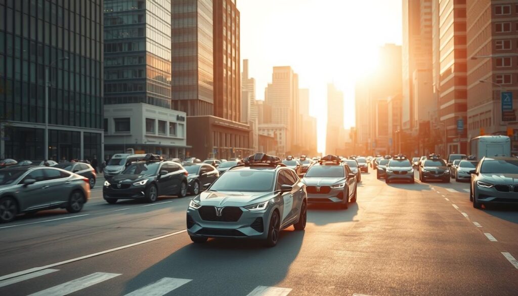
We show practical steps to evaluate systems, reduce risk, and map investments to measurable safety gains.
- How sensor families work together to supply detailed information for lane-level decisions.
- How machine learning and algorithms consume vast amounts of multimodal data to make informed decisions quickly.
- Priorities for prototyping, testing, and governance so teams can act with confidence.
“Iottive helps teams validate assumptions fast with BLE telemetry, rapid sensor prototypes, and cloud dashboards.”
| Focus | Why it matters | Key deliverable |
|---|---|---|
| Perception | Detailed, lane-level scene understanding in low visibility | Reliable sensor fusion and object lists |
| Decision systems | Real-time planning under variable traffic | Predictive models and control policies |
| Operations | Rapid validation with fleet data | BLE telemetry, cloud dashboards, OTA updates |
The perception backbone: LiDAR, radar, cameras, ultrasonics, and sensor fusion working together
Modern perception systems fuse diverse sensor streams to build a clear, real-time picture of the surroundings. This layered approach turns raw signals into the actionable data a vehicle needs to detect objects, estimate speed, and plan safe maneuvers.
LiDAR for high-resolution 3D environmental mapping and obstacle detection
LiDAR emits laser pulses to produce dense point clouds that reconstruct nearby surroundings. These clouds enable accurate object detection and lane-relative positioning, which helps early recognition of obstacles in complex environments.
RADAR for long-range speed and distance in adverse weather
RADAR tracks distance and speed reliably through fog, rain, and snow. Its long-range capability complements higher-resolution sensors by giving consistent motion estimates for distant objects and vehicles.
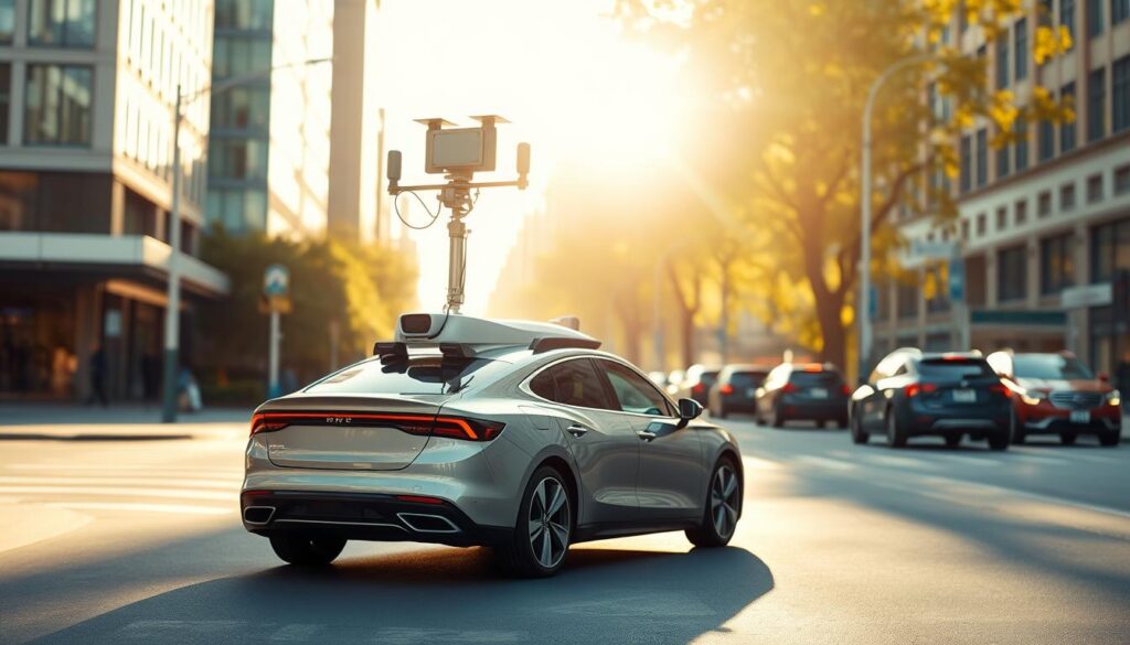
Camera vision, ultrasonics, and fusion
Cameras read lanes, traffic signs, and semantic scene cues. They offer rich color and texture that help classify pedestrians and objects, though lighting can affect performance.
Ultrasonic sensors fill short-range gaps during parking and low-speed maneuvers. Together, sensor fusion aligns detections across modalities so algorithms and learning models keep consistent tracks and improve safety on busy roads.
“Iottive streams synchronized sensor data so teams can visualize point clouds, camera frames, and RADAR tracks in real time.”
- Trade-offs: LiDAR resolution vs. cost; RADAR reliability vs. lower spatial detail; cameras’ richness vs. lighting sensitivity.
- Iottive’s BLE and IoT gateways help teams profile noise, validate calibration, and iterate faster on fusion pipelines.
Localization and maps: HD maps, GPS, and SLAM powering precise vehicle positioning
A reliable position estimate blends HD map layers, GNSS telemetry with inertial backups, and SLAM that adapts to changing streets.
HD maps supply centimeter-level road geometry, lane markings, and traffic assets. That detailed information helps planners make lane-precise decisions and supports safer maneuvers in dense urban canyons.
GPS plus INS gives redundancy when satellite signals bounce or drop in tunnels. Combining GNSS and inertial systems stabilizes pose estimates so vehicles keep trustworthy position data while driving.
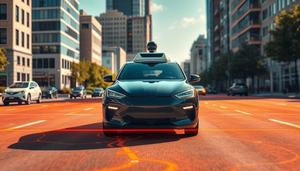
SLAM in dynamic environments
SLAM builds maps on the fly when prebuilt coverage is missing. It helps with immediate perception and detection of new obstacles.
But SLAM can drift and needs compute resources. Algorithms constrain error growth by fusing sensor data and anchoring to map primitives.
- Cameras, radar, and LiDAR align to map layers to refine vehicle pose and improve perception.
- Accurate object association between sensors and map features avoids misdetections that could harm safety margins.
- Iottive’s telemetry visualizes alignment, audits drift, and enables OTA map updates so fleets stay synchronized.
“Iottive streams GPS/INS and SLAM outputs to help teams compare localization streams and detect anomalies.”
From perception to decisions: AI, deep learning, and behavioral prediction inside AV brains
Deep learning and forecasting let a vehicle predict nearby movement and choose safer, smoother maneuvers.
Deep learning for object detection, tracking, and scene understanding
Convolutional networks translate images and point data into labeled objects and semantic context. CNNs handle object detection and recognition, while trackers keep persistent IDs as objects move.
Scene understanding adds lanes, crosswalks, and occlusion cues so planners have richer information when making decisions.
Behavioral prediction to anticipate pedestrians, cyclists, and vehicle trajectories
Prediction models fuse past motion, scene context, and intent signals to forecast paths. This includes trajectory forecasting, intent detection, and real-time risk assessment.
Accurate forecasts let the control system select speed and gap acceptance that balance comfort, speed, and safety in traffic.
Reinforcement learning and model predictive control for path planning
Reinforcement learning uncovers high-level strategies by trial and error in simulation. Model predictive control refines short-horizon plans to meet safety envelopes while smoothing motion.
Runtime constraints demand low-latency inference on edge hardware so decisions stay timely when conditions change quickly.
Iottive’s AIoT solutions help teams curate labeled datasets, instrument edge sensors and BLE devices, and stream synchronized data to cloud dashboards. That workflow speeds model iteration for detection, tracking, and prediction.
“Curated data and robust labeling reduce bias and make decisions reflect real-world conditions across varied weather and scenes.”
| Component | Function | Benefit |
|---|---|---|
| Deep learning | Detects and classifies objects, builds scene context | Improved perception accuracy and richer inputs for planning |
| Behavioral prediction | Forecasts trajectories and intent | Better anticipation of pedestrians and vehicles, lower risk |
| Reinforcement learning + MPC | Strategy discovery and short-horizon control | Smoother, safer path planning under constraints |
| AIoT data pipelines | Collects synchronized sensor and BLE data, labels datasets | Faster model iteration and validated performance on real roads |
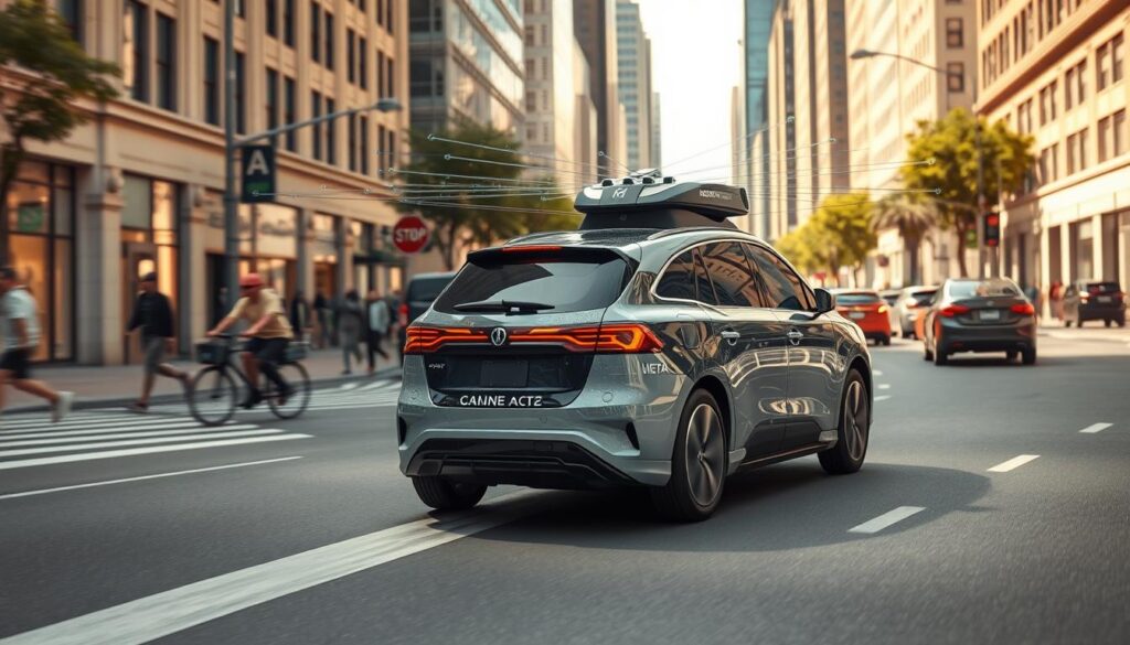
LiDAR mapping for AVs, AI route optimization, self-driving navigation: putting it all together
Predictive models turn streams of sensor information into timely decisions that avoid hazards and keep schedules.
Trajectory forecasting and intent detection feed planners with short-horizon predictions about pedestrians, cyclists, and nearby vehicles. Those forecasts shape candidate paths that respect traffic rules and passenger comfort.
Control systems then apply model predictive control to turn forecasts into smooth, feasible steering and speed commands. This keeps maneuvers both safe and efficient in dense traffic.
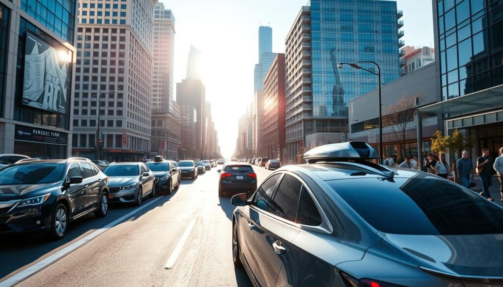
Trajectory forecasting, intent detection, and risk assessment in real time
Fast classifiers and regressors use camera semantics, radar speed cues, and lidar point structure to guess intent. Risk scores rise when uncertainty spikes or objects cross predicted paths.
When scores cross thresholds, planners choose conservative actions and the control loop tightens to reduce collision risk.
Adaptive speed, lane selection, and proactive braking for overall safety
Adaptive loops coordinate speed, lane choice, and braking so the vehicle keeps flow while avoiding obstacles. MPC balances comfort, legal limits, and emergency handling.
Runtime guardrails provide fallback maneuvers when models disagree or sensors degrade. These guardrails enforce simple safe behaviors so edge cases do not cascade.
“Iottive connects telematics, BLE edge streams, and OTA model updates so operators can validate changes rapidly in the field.”
- Forecasts inform planners that pick safe, efficient maneuvers through dense traffic.
- Sensors—lidar, radar, cameras, ultrasonics—combine to detect objects early and keep trajectories smooth as road conditions change.
- Deep learning models and systems logic convert sensor information into decisions that respect comfort, regulations, and right-of-way.
- Iottive closes the loop with telematics, logging, and OTA updates to operationalize improvements across vehicles.
Resilience in the real world: weather conditions, edge cases, and redundancy strategies
Real-world roads force autonomous systems to cope with sudden weather shifts and rare events without losing safety.
Multimodal sensing keeps a vehicle aware when conditions change. In rain, fog, or snow, radar still measures speed and range while cameras and lidar may lose detail.
Operating through rain, fog, and snow with complementary sensors
Designs use radar as the weather-hardened backbone, ultrasonics for near-field checks, and cameras when visibility is good. Fusion preserves perception of objects across mixed environments.
Control logic then selects conservative maneuvers if confidence drops. Reducing speed and widening gaps keeps pedestrians and traffic safer during uncertain moments.
Handling rare events: emergency vehicles, road obstructions, and detours
Edge cases like emergency responders or unexpected obstructions need fast detection, classification, and a clear response policy. Systems flag unusual data streams and switch to fail-safe behaviors.
Iottive supplies redundant BLE and IoT pathways plus cloud alerts so operators see sensor health and intervene or schedule fixes before risks grow.
“Redundancy and test-driven detour scenarios are essential to keep vehicles operational and safe in messy, real roads.”
Connected mobility: V2X, 5G, and smart city integration that boost efficiency
When vehicles and infrastructure exchange live signals, traffic becomes a cooperative system rather than isolated agents. Low-latency 5G and V2X links deliver timely data that helps vehicles coordinate merges, crossings, and platoons. This reduces stop-and-go behavior and raises overall efficiency on the road.
Cooperative driving, platooning, and traffic signal coordination
V2X and 5G let vehicles share position, speed, and signal-phase information so they can form tight, safe platoons. Platooning improves fuel use and throughput while lowering congestion.
Signal phase and timing (SPaT) messages give vehicles a forecast of upcoming light phases. Navigation timing that uses SPaT reduces stops, saves energy, and keeps schedules on track.
Fleet planning and AI-driven efficiency
Fleet operators use machine learning and advanced algorithms to balance demand, schedule preventive maintenance, and make quick decisions during peak traffic. Models analyze streaming data to reroute vehicles around jams and shift capacity where riders need it most.
Edge and cloud streams synchronize dispatch, vehicle health, and handoffs so control remains reliable. These systems lower downtime and improve on-time performance for ride-hailing and delivery services.
“Iottive builds V2X-ready IoT stacks and mobile apps that tie vehicles to traffic signals, curbside systems, and dispatch tools.”
- 5G and V2X share traffic and signal information to coordinate merges, crossings, and platoons.
- Machine learning helps fleets balance demand and make timely decisions in peak traffic.
- SPaT timing cuts stops and boosts energy efficiency and schedule adherence.
- Edge-to-cloud data flows sync dispatch, maintenance, and driverless handoffs for safe control.
- Iottive integrates sensors and system telemetry with city infrastructure to operationalize connected mobility plans.
Beyond passenger cars: transit, logistics, and agriculture use cases
Autonomous systems are proving their value in transit networks, urban delivery, and precision farming operations. These sectors rely on synchronized data, robust sensors, and practical planning to deliver real benefits in real environments.
Autonomous shuttles and buses improve transportation access and lower emissions. Transit agencies deploy on‑demand shuttles that keep schedules punctual and assist riders with limited mobility. Coordinated with traffic systems, these vehicles cut wait times and shrink local carbon footprints.
Autonomous shuttles and buses for accessible, low-emission public transport
Shuttles use sensor fusion, predictive models, and fleet data to stay reliable in mixed traffic. Operators tune performance with OTA updates and BLE telemetry so services adapt without long downtime.
Autonomous delivery vehicles for reliable, 24/7 last-mile logistics
Delivery vehicles run around the clock using planning and continuous data to avoid congestion and maintain SLAs. Predictive maintenance reduces surprises and keeps fleets moving in dense urban settings.
Autonomous farming equipment for precision agriculture and sustainability
Field vehicles pair GPS, sensors, and models to guide planting and harvesting. Precision workflows raise yields, save water, and lower input waste across varied environments.
Iottive helps transit agencies, logistics operators, and ag‑tech firms deploy BLE beacons, smart gateways, and cloud/mobile integrations. These products enable fleet monitoring, OTA updates, and real‑time dashboards that keep multi‑vehicle operations coordinated.
| Use case | Primary benefit | Operational need |
|---|---|---|
| Transit shuttles | Improved accessibility and lower emissions | Traffic coordination, passenger apps, OTA updates |
| Delivery vehicles | 24/7 service with higher SLA adherence | Predictive maintenance, congestion data, fleet orchestration |
| Farming equipment | Precision planting and resource efficiency | Field connectivity, sensor telemetry, model updates |
- Practical challenges include rural connectivity, uneven road conditions, and unexpected obstacles that planning systems must handle gracefully.
- Fleet monitoring and cloud integrations ensure operators react fast to sensor faults or changing traffic and weather conditions.
Challenges to solve on the road to scale: safety, regulation, and ethics
Scaling autonomous systems demands more than smart models and fast processors; it needs verified evidence that vehicles behave safely under real conditions.
Testing and validation must blend long-running simulation with staged public road trials. Simulators speed iteration, while on-road data supplies the detailed information regulators expect.
Testing, validation, and fail-safes for reliability
Teams should run exhaustive scenario tests, then confirm results with monitored road trials. Redundancy in sensors and control paths preserves operation when components fail.
Fail-safes must hand control to conservative behaviors when confidence falls. Auditable logs and synchronized data streams help engineers reproduce and fix faults fast.
Regulatory frameworks, liability, and data privacy in the United States
U.S. rules require clarity on who is liable after an incident and strict protections for personal data. Transparent logs and device identity make it easier to make informed assessments.
Iottive supports safety cases with auditable data pipelines and privacy-by-design architectures to help teams meet regulatory expectations.
Transparent AI and ethical decision-making in complex scenarios
Ethical frameworks must guide algorithms when trade-offs arise, especially around pedestrians and vulnerable road users. Explainable models build public trust.
“Openness in testing and clear logs are essential to show how decisions are made and why safe outcomes follow.”
| Challenge | Key action | Outcome |
|---|---|---|
| Validation | Simulate, then test on public roads with monitored trials | Verified performance and detailed information for safety cases |
| Redundancy | Dual sensors, backup control, health monitoring | Continued control under faults and higher reliability |
| Regulation & privacy | Auditable logs, device identity, privacy-by-design | Clear liability paths and compliant data practices |
| Ethics & transparency | Explainable models and public demonstrations | Increased trust and accountable decisions |
Summary: Rigorous testing, layered fail-safes, clear logs, and ethical transparency let teams scale with confidence. Secure device management and strong data practices turn compliance into an ongoing capability.
Conclusion
When data streams link to learning pipelines, each trip improves future vehicle performance.
Autonomous vehicles rely on a layered stack: perception, localization, planning, and control. That stack helps vehicles handle road and traffic challenges with growing confidence.
High-quality data and continuous learning keep models and algorithms improving as fleets scale. The payoff is clear: better safety, smoother navigation, and improved operational efficiency across transportation networks.
Plan pilots that tie sensors, cameras, and telemetry to cloud dashboards so you can turn insights into measurable gains. Partner with Iottive for BLE devices, mobile apps, and cloud platforms that accelerate deployment and de-risk innovation.
FAQ
What role does LiDAR play in modern autonomous vehicle perception?
LiDAR provides high-resolution 3D scans of the environment, enabling vehicles to detect shapes, distances, and obstacles in real time. When combined with radar, cameras, and ultrasonic sensors, it improves object detection and helps control systems make safer driving decisions.
How do different sensors work together to improve safety?
Sensor fusion merges data from 3D scanners, radar, cameras, and ultrasonics to cover each technology’s blind spots. Cameras handle signs and lane markings, radar measures speed at long range, ultrasonics manage close obstacles, and fusion algorithms create a consistent view for perception and planning.
Can autonomous systems localize accurately in urban environments?
Yes. High-definition maps, GPS aided by inertial measurement units, and SLAM methods work together to give centimeter-level vehicle positioning. Redundant localization reduces drift and helps vehicles navigate complex streets reliably.
How do AI and machine learning enable decision-making in autonomous vehicles?
Deep learning models detect and classify objects, while behavioral prediction forecasts trajectories of pedestrians, cyclists, and other vehicles. Reinforcement learning and model predictive control convert those predictions into safe trajectories, speed adjustments, and lane choices.
What systems manage route planning and adaptive driving behavior?
Planning stacks use trajectory forecasting, intent detection, and risk assessment to choose safe paths. They adjust speed, lane selection, and braking proactively to avoid collisions and improve traffic flow while balancing comfort and efficiency.
How do autonomous vehicles handle adverse weather and visibility issues?
Vehicles rely on complementary sensors—radar for penetrating rain and fog, cameras for visual cues when conditions allow, and 3D scanning for geometry. Redundancy and sensor calibration, plus conservative behavior under low confidence, keep operations resilient.
What happens during rare or unexpected events on the road?
Systems detect anomalies like emergency vehicles, sudden obstructions, or detours and switch to safe fallback strategies. These include reduced speed, increased following distance, or requesting remote operator support when needed.
How does connected infrastructure improve autonomous driving performance?
V2X communications and low-latency networks such as 5G let vehicles share traffic signals, hazard alerts, and cooperative maneuvers. This boosts route efficiency, enables platooning, and helps fleet operators optimize dispatch and routing.
Are autonomous technologies useful beyond private cars?
Absolutely. Autonomous shuttles, delivery vehicles, and farm equipment use the same perception and planning building blocks to provide accessible transit, reliable last-mile logistics, and precision agriculture that reduces waste and boosts productivity.
What are the main safety and regulatory challenges for wide deployment?
Scaling up requires rigorous testing, validation frameworks, and fail-safe mechanisms. Clear U.S. regulations on liability, data privacy, and certification are essential, along with transparent decision-making in edge cases to earn public trust.
How is privacy protected when vehicles collect vast amounts of sensor data?
Developers anonymize or aggregate sensor streams, apply strict data governance, and follow regional privacy laws. Limiting retention, encrypting transmissions, and providing transparency about data use help protect users.
How do companies validate autonomous systems before public use?
Validation combines simulation, closed-track testing, and staged on-road trials. Companies use scenario libraries, edge-case catalogs, and performance metrics to measure perception accuracy, planning robustness, and safe fallback behavior.
Transform Your IoT Vision Into Reality.
Get free expert insights, architectures & cost breakdowns.
Drop your email to schedule free meeting.